The data is ready before the question is asked
Traditional EO data requires normalization, calibration, and preprocessing before it can feed AI models. EarthDaily ships Analysis-Ready Data eliminating the bottleneck by design.

Traditional EO pipeline
1. Raw sensor data collected
2. Radiometric correction (manual)
3. Geometric correction (manual)
4. Atmospheric correction
5. Normalization for consistency
6. Finally ready for AI/ML input
Result: Hours to days of prep before analysis can begin.

EarthDaily Constellation AiRD
✓ Pre-processed at source
✓ Radiometrically calibrated
✓ Geometrically corrected
✓ Atmospherically normalized
✓ Consistent daily imaging geometry
✓ AI/ML-ready on delivery
Result: Immediate input to AI pipelines. No preprocessing delay.
Persistent military base monitoring
The Constellation monitors every military installation globally, every day, at the same time and same geometry, enabling true change comparison.

Baseline established
Full vehicle complement present. 11 VNIR spectral bands establish spectral fingerprints for each vehicle class.

Daily monitoring, no change
Object-change algorithm runs. Ground vehicle count within normal variance. No alert triggered.

Significant change detected
30% reduction in ground vehicles detected. Aircraft count stable. Event fires immediately to analyst.
Outcome: 30% Vehicle deployment detected automatically
Analyst notified before adversary activity reaches operational tempo.
Tipping & cueing: from detection to decision
The Constellation doesn't replace high-resolution collection. It tells you precisely where to point it. Daily 3.5m detects the anomaly. VHR confirms it.

Daily pass (5M)
Full global coverage. Change detection algorithms run continuously across all monitored areas.

Change detected + tip fires
Automated algorithm flags significant deviation. Deep learning confirms the anomaly is worthy of closer inspection.

VHR cued (30–50cm)
High-resolution sensor tasked to the exact area. Analyst receives confirmation-grade imagery.
Just imagine this applied to trench construction, remote airstrip detection, glacier collapse early warning, or wildfire perimeter mapping.
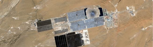
Mission: Ground Activity Monitoring
- Persistent monitoring of military installations to identify vehicle counts, aircraft, patterns of life
- Trench construction and fortification detection for pre-war to active conflict progression
- Bridge construction and infrastructure change indicating troop movement preparation
- Automated object-change trending → daily graphs replace manual analyst screen scanning